My Cote d'Azur map from 1914 (and a 2030 TGV line at the same time). This is an AI gameplay, not a schönbau yet but I tried using some detailings. The majority of the towns look like real life in the 1910s, I used old maps. The lines and everything is at their approximate real life position (limited by the scale).
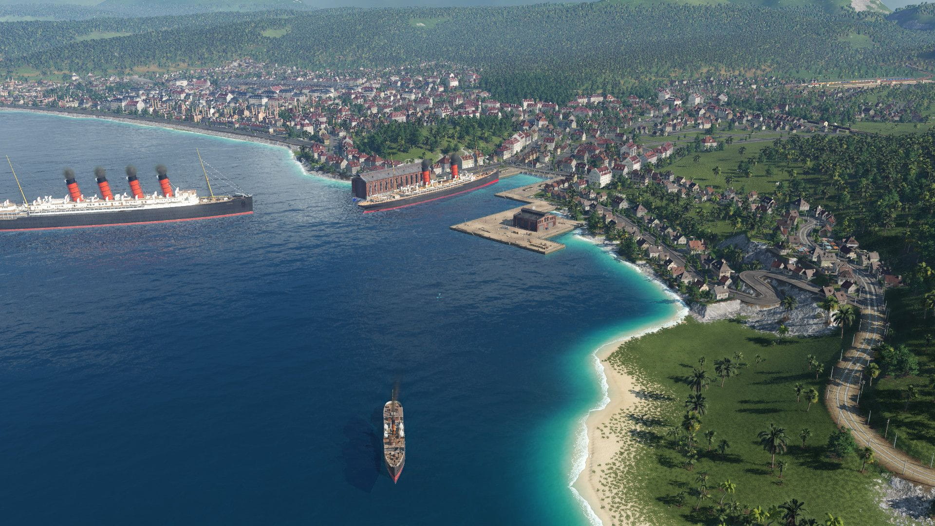
Nice, the largest city. There is a main railway station with steel arch roof (today Nice Ville), there is the Gare du Süd, Nice-Riquier railway stop and the Saint Roch cargo terminal (right side of the first picture). There is also an airport with Blériot planes, and the port. It has a mini industry as the Cours Saleya market, produces bread. The city has many tram lines and some bus lines too.
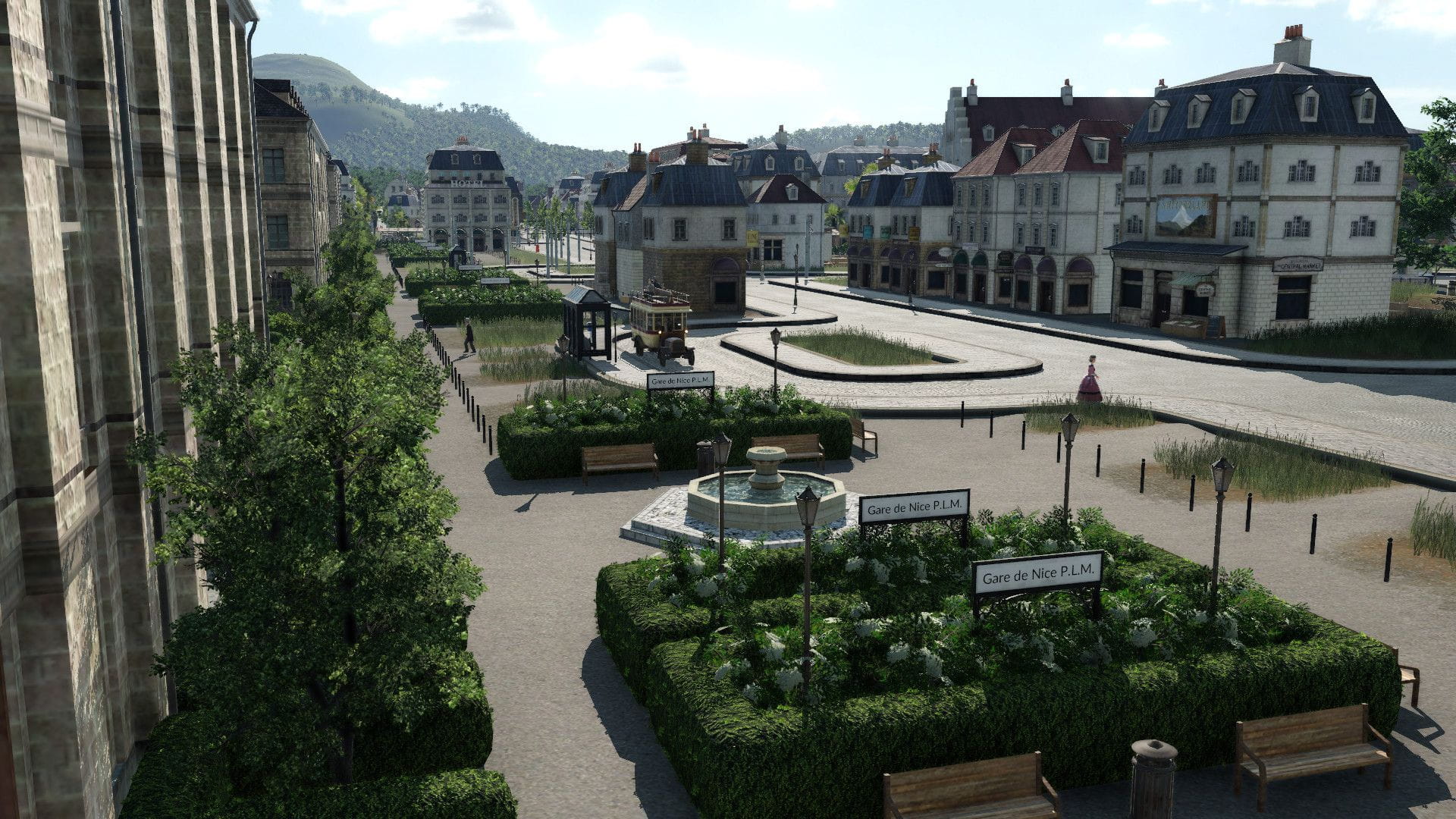
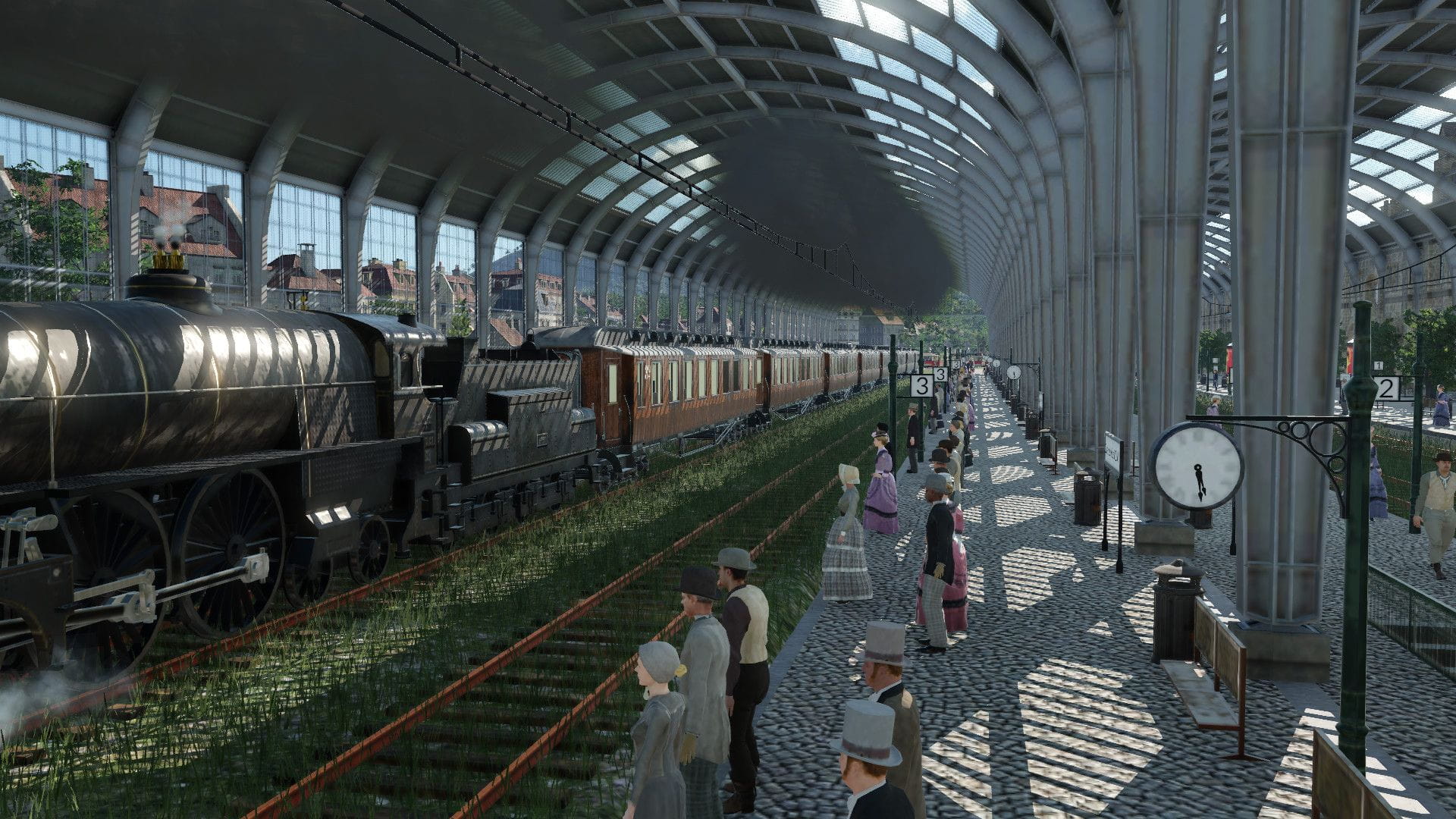
The Nice P.L.M. main station front. It is a busy station with branch line train (Nice-Turin line), international trains (Vienna-Cannes), long distance trains (Paris-Nice historical Le Train Bleu), and some more local trains too. The parallel universe TGV trains also stop here. Inside the station, the Vienna-Nice-Cannes train had just arrived.
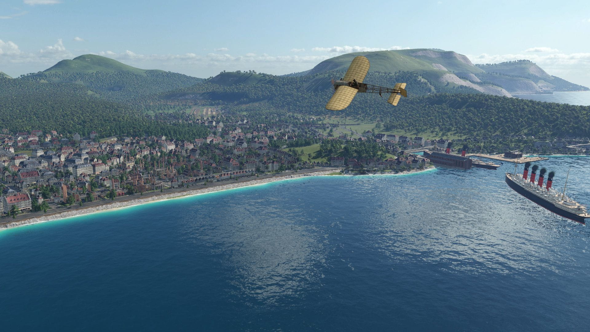
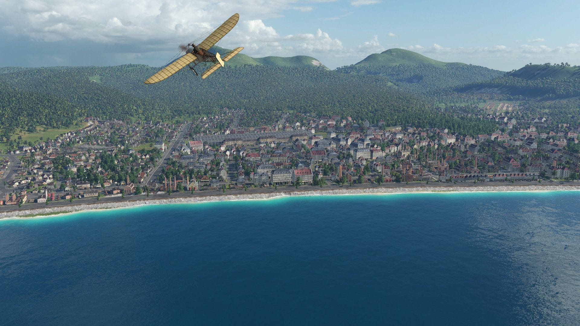
Nice airport and the promenade along the coast. There are several Blériots on the picture.

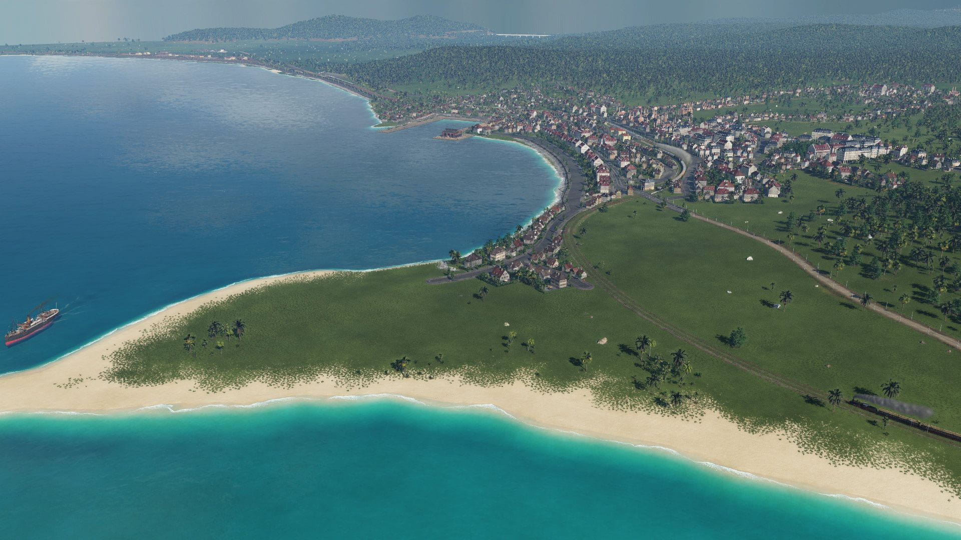
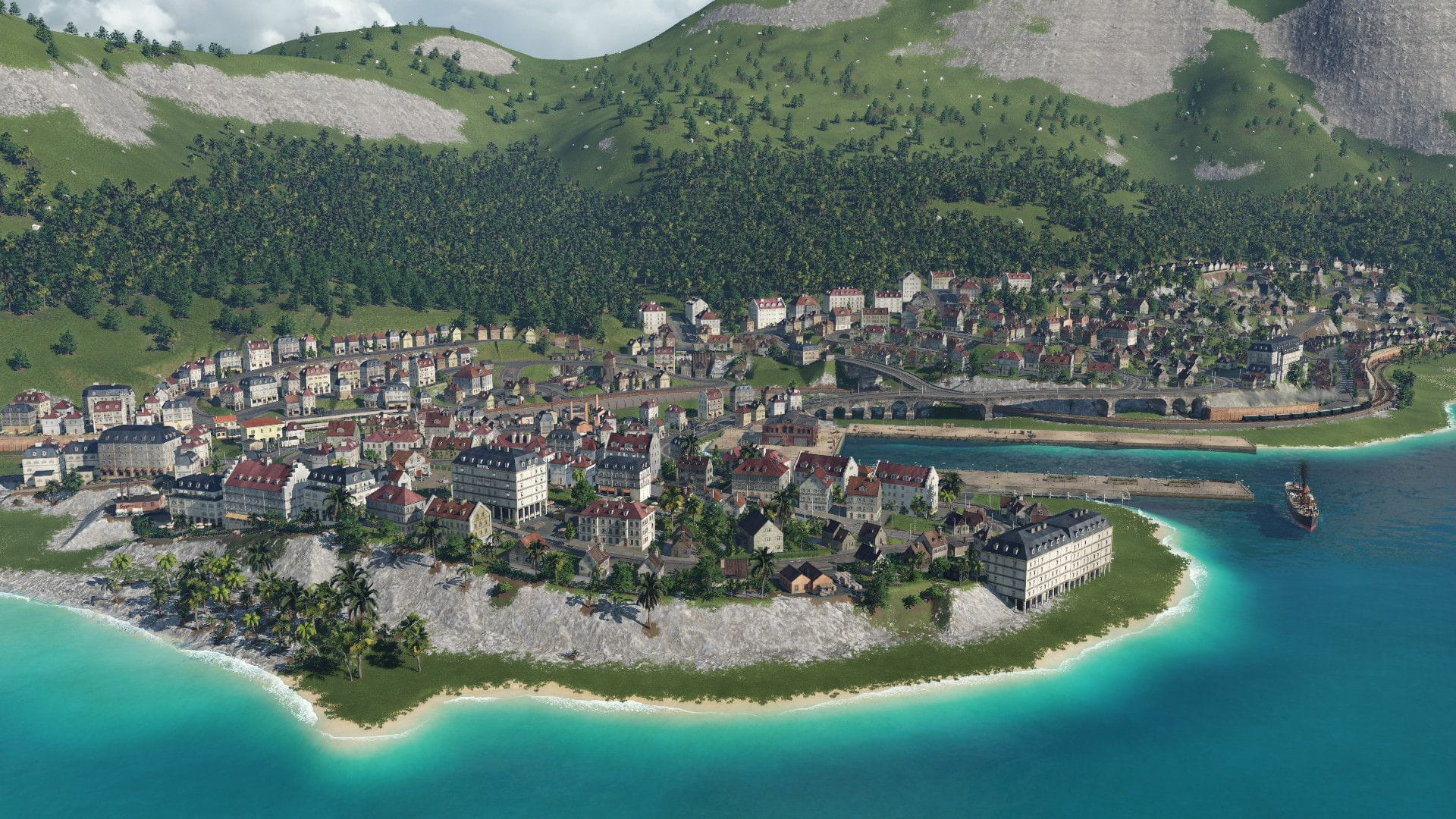
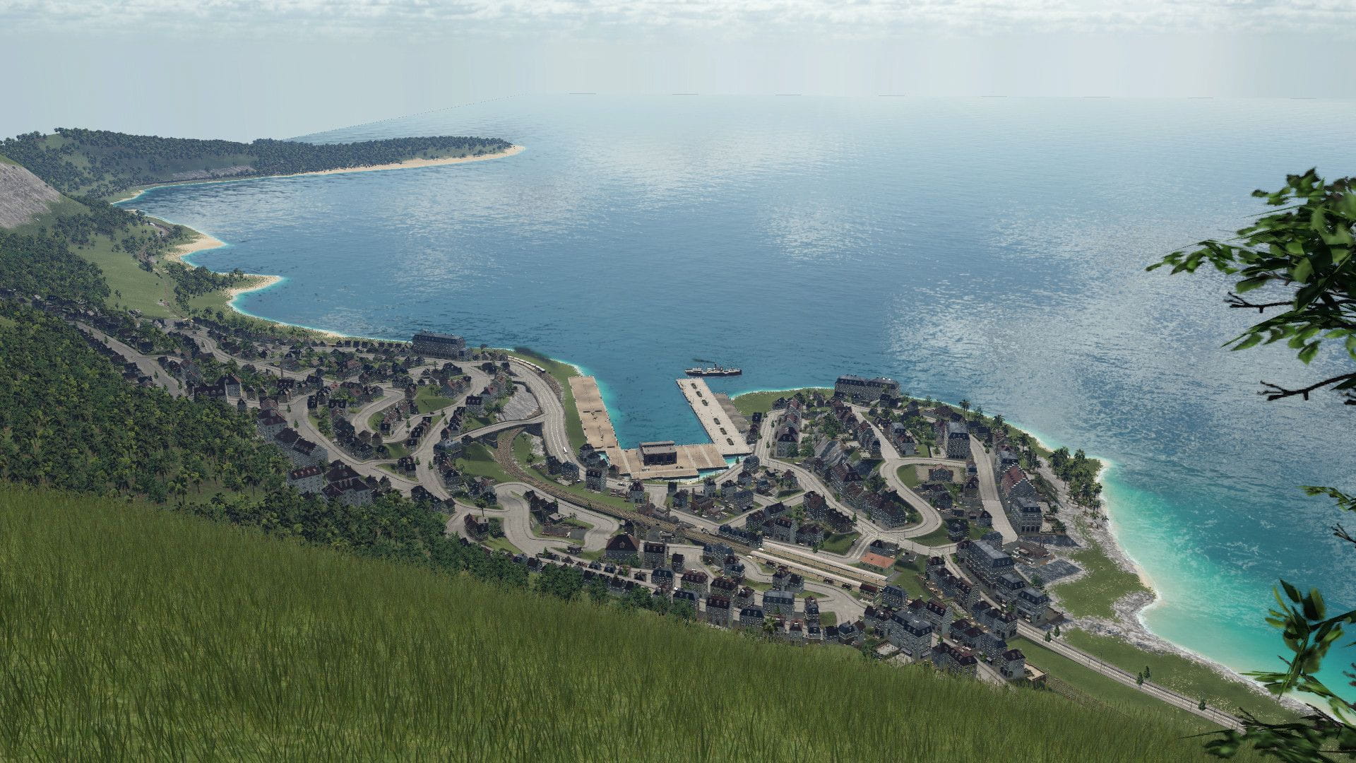
Second largest town is Cannes (and Le Cannet). It has only the Cannes main station and the La Bocca freight terminal and depot. Of course there is a port as well, and an airport too (behind La Bocca station). It has some trams and one bus line as well. On the first pic, La Bocca freight terminal is at the left side in the background. At the distance above, the new LGV Provence-Alpes-Cote d'Azur TGV high speed line viaduct is visible (real proposal).
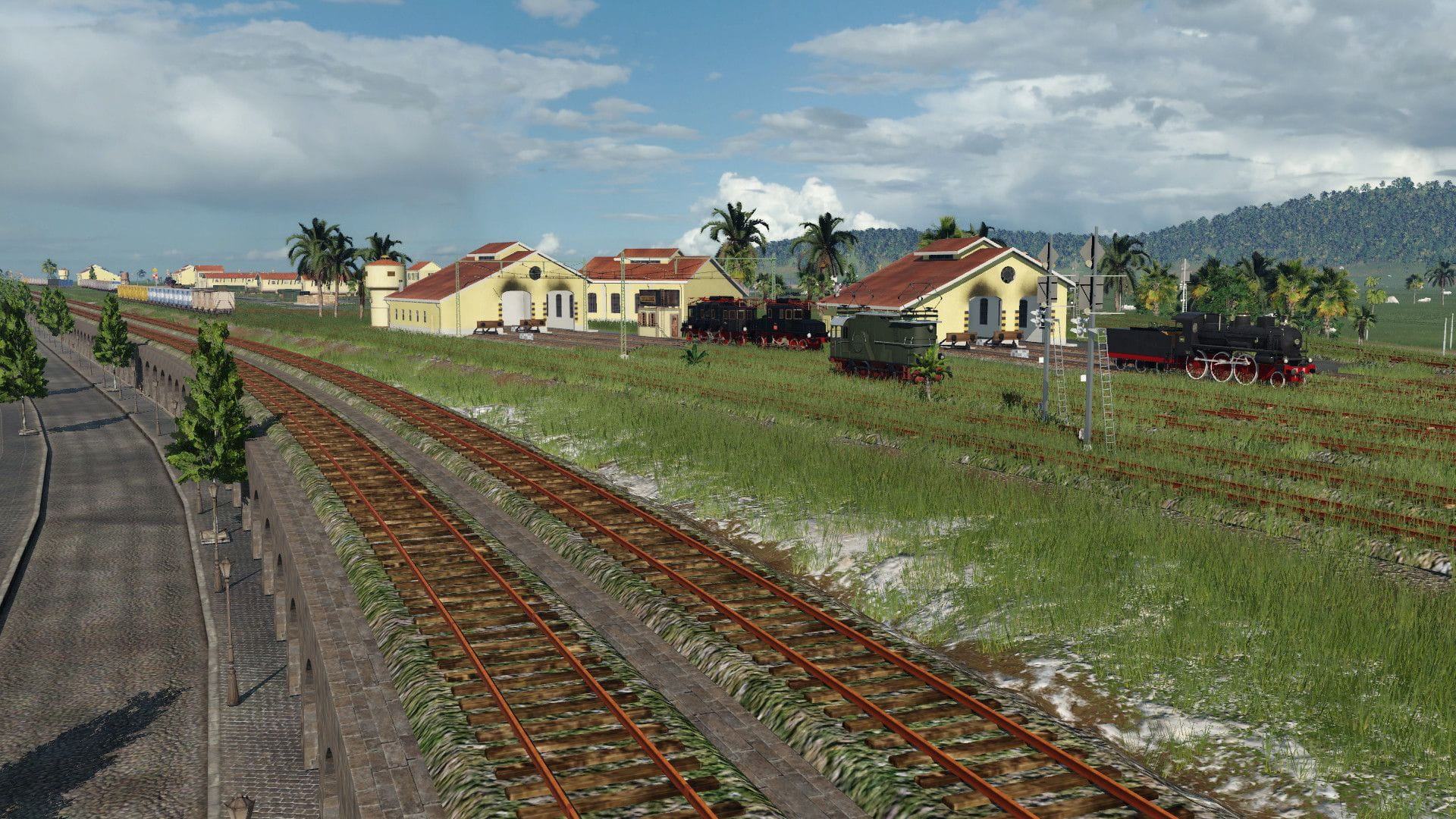
La Bocca freight terminal and depots. At the La Bocca-main line (to Marseille) junction there is a new added line used by a TGV that goes to Cannes main station. It uses a fourth platform that will be built when the LGV PACA will be realized, this line diverges from the LGV line at the Cannes-Grasse railway.

Third largest is Monaco/Monte-Carlo. It has actually 3 stations, an invisible one at the Casino building, where the train is standing (it is curved), the main one on the old line (not existing today) and below the ground, the recent modern one (used by TGVs). I built the old line first, then attached the new line with tunnels to use for TGVs, the old line would be too jammed. I also added overhead wires where TGVs use the old line, others remained unelectrified.
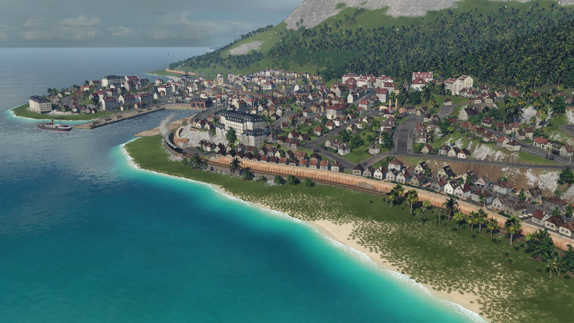
The end of the new railway tunnel is visible at the right side. Today this is the only existing one, the old, coastal line is not existing anymore.
The view of Monaco from the top of the La Téte de Chien
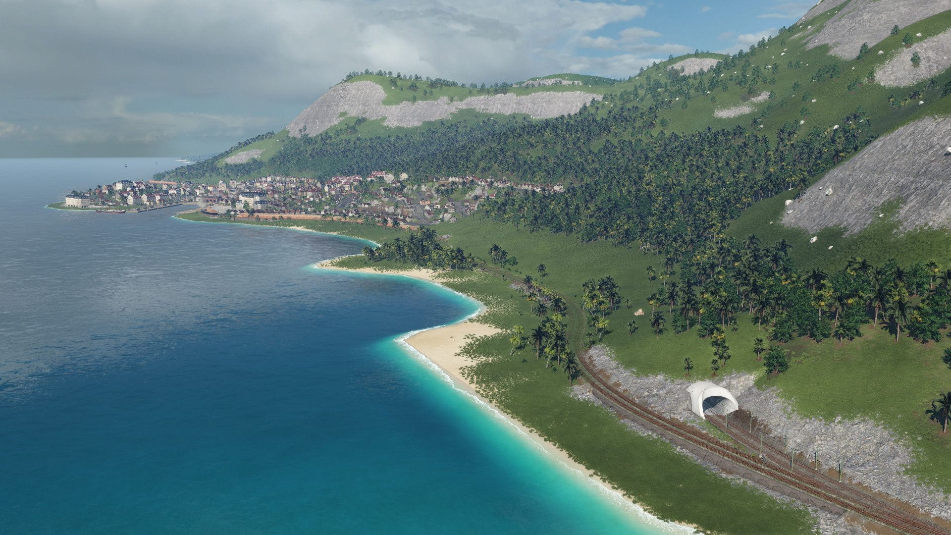
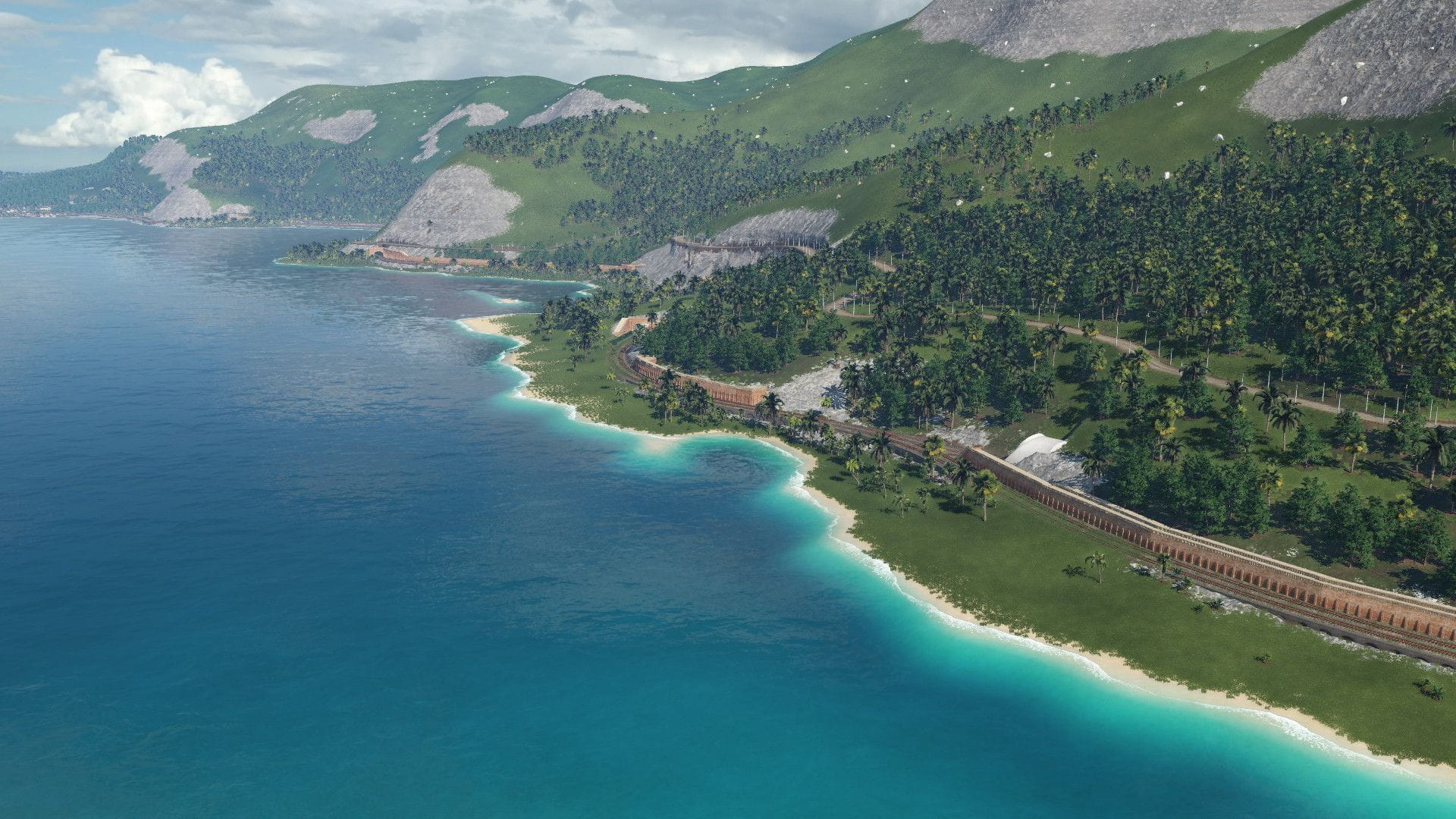
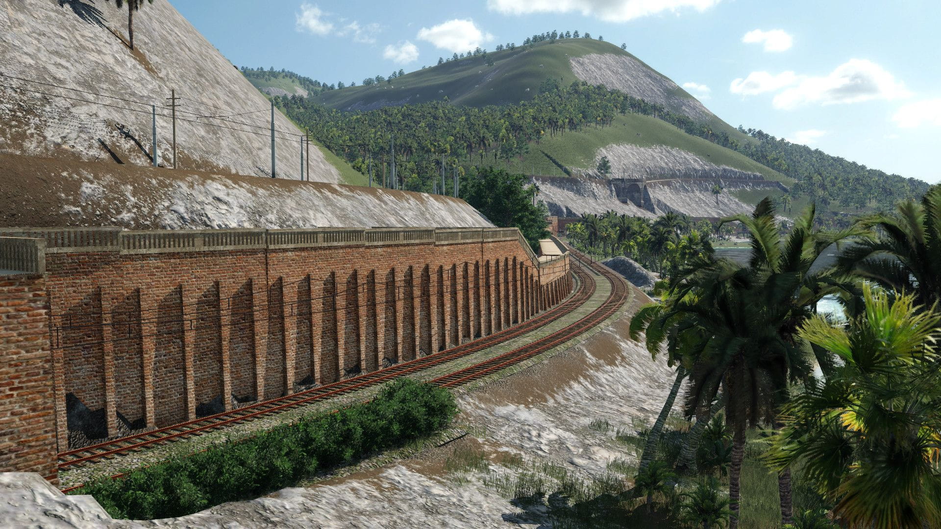
The coastal railroad with many tunnels and walls between Nice and Monaco. On the first pic at the right side, the entry of the recent underground railway line is visible, where the old, not existing line remains coastal. The main road high above is also visible, that was used by the Cannes-Nice-Monaco-Menton tram, I built this line as well with a realistic alignment (from Cannes to Monaco).
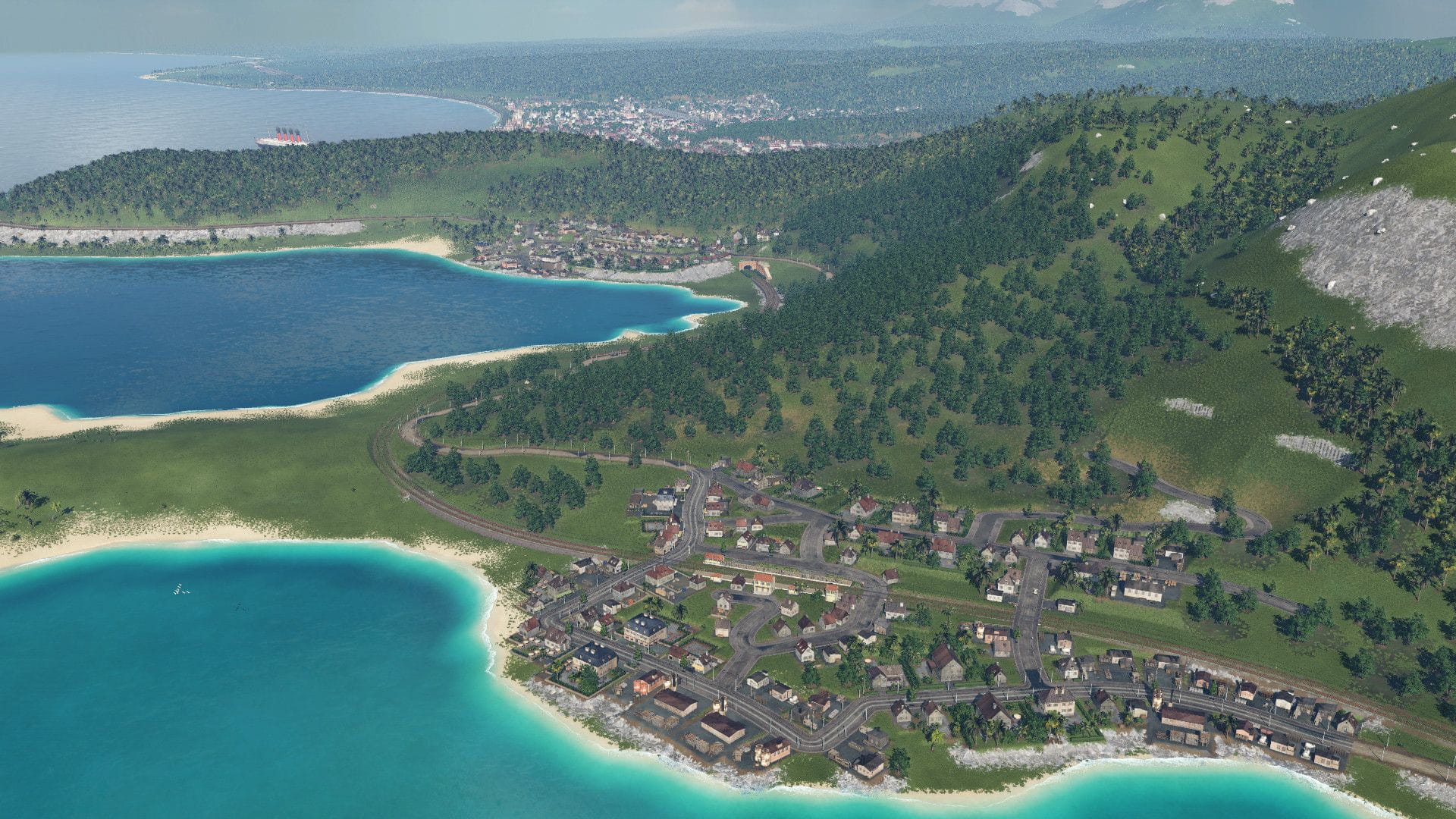
There are several smaller towns on the map to fill the gap. I might add some more later along the branch lines. The existing ones are:
Beausoleil in the front, Villefranche behind above the tunnel and Nice at the background, behind the mountain. Back then the coast was not full of houses like it is today.
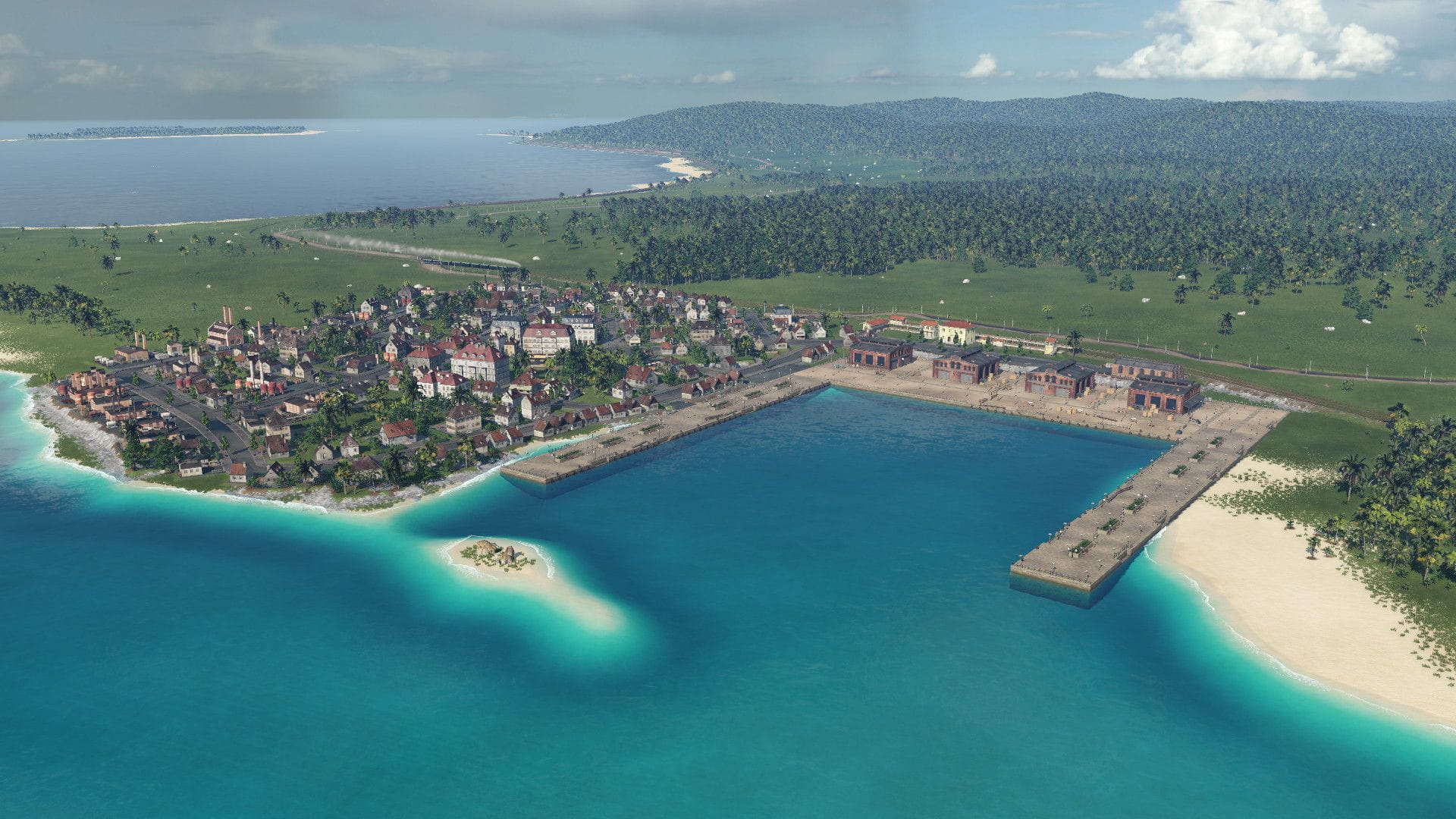
Antibes with a port.
Grasse at the edge of the map, on a hill. Sadly when I generated the map, didn't notice that I miss the city and only the edge of it is on the map.
Thanks for your attention!